


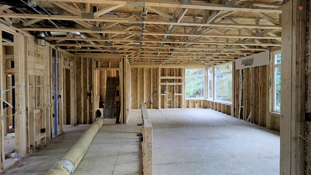
New Builds
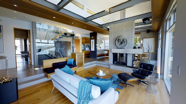
Realtor
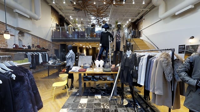
Retail
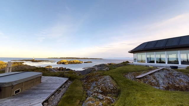
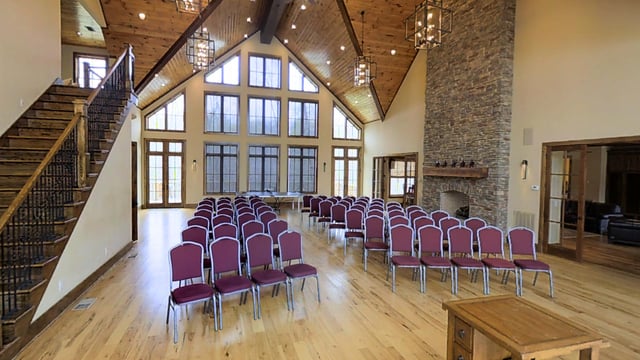
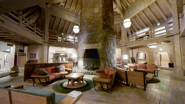
Hospitality/Resorts/Hotels
Commercial real estate
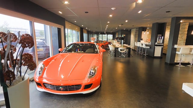
Vehicle Sales
New Builds
- Create virtual Staging
- Export .obj to Autocad, Sketchup etc
- Essential for demonstrating the potential behind a property.
 ►
Explore 3D Space
►
Explore 3D Space
 ►
Explore 3D Space
►
Explore 3D Space
 ►
Explore 3D Space
►
Explore 3D Space
Realtor
- Create a virtual open house like no other!
- Post to the MLS, Social Media and Newsletters
- Printable Floorplans with Measurements
- Win more listings
- Make better Impressions
- Save time by avoiding unsuitable property visits
 ►
Explore 3D Space
►
Explore 3D Space
 ►
Explore 3D Space
►
Explore 3D Space
 ►
Explore 3D Space
►
Explore 3D Space
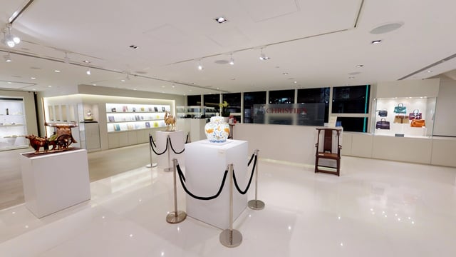
Retail
- Give your customers a virtual experience like no other
- Let your customers know the layout of your locations
- Make your social media offering stand out.
 ►
Explore 3D Space
►
Explore 3D Space
 ►
Explore 3D Space
►
Explore 3D Space
 ►
Explore 3D Space
►
Explore 3D Space
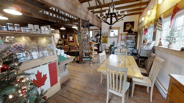
Hospitality/Resorts/Hotels
- Tab Content
 ►
Explore 3D Space
►
Explore 3D Space
 ►
Explore 3D Space
►
Explore 3D Space
 ►
Explore 3D Space
►
Explore 3D Space
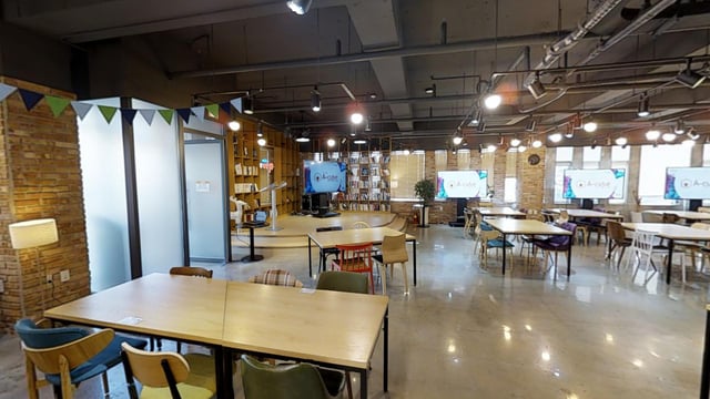
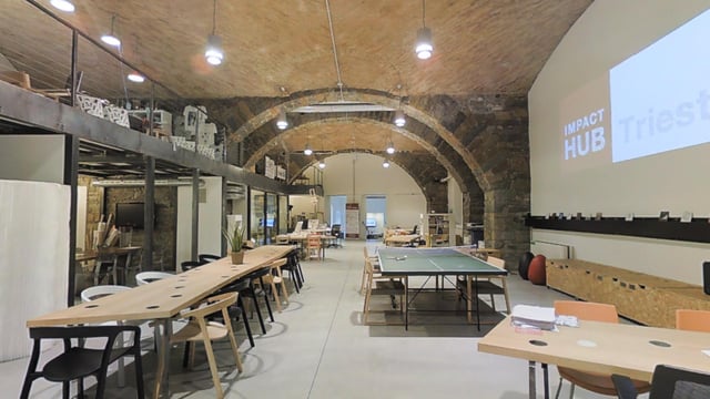
Commercial real estate
Tab Content
 ►
Explore 3D Space
►
Explore 3D Space
 ►
Explore 3D Space
►
Explore 3D Space
 ►
Explore 3D Space
►
Explore 3D Space
Vehicle Sales
 ►
Explore 3D Space
►
Explore 3D Space
 ►
Explore 3D Space
►
Explore 3D Space
 ►
Explore 3D Space
►
Explore 3D Space